Loading...
Track each student's skills and progress in your Mastery dashboards
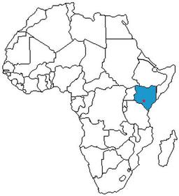
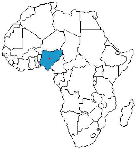
What country is this?
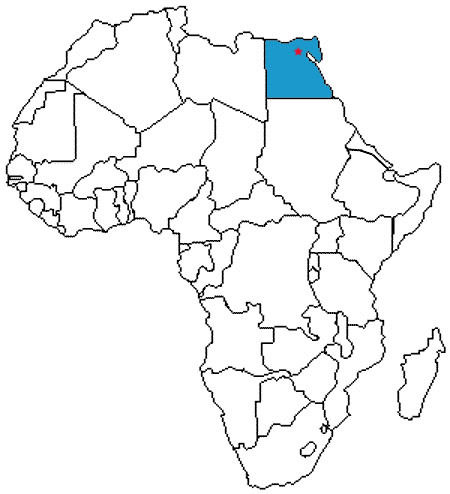
Kenya
Sudan
Egypt
Nigeria
What is this?
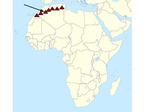
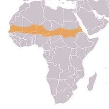
Atlas Mountains
Great Rift Valley
Mount Kilimanjaro
Sahara Desert
What country is this?

What is this?

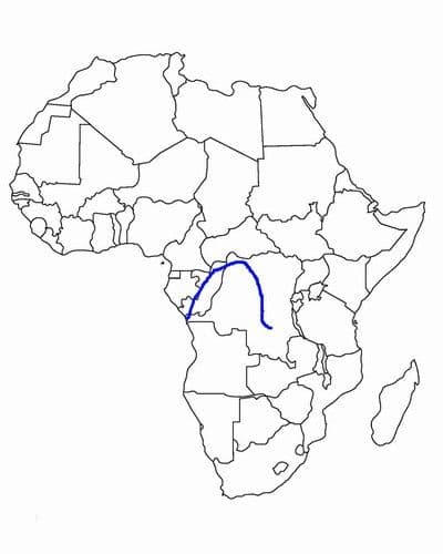
What river is this?
What physical feature is shown in red?

What physical feature is this?

What country is this?

What country is this?

What river is this?

What physical feature is the blue arrow pointing to?

What country is this?
What region is shown in green on the map?

What country is this?

What region is shown in blue on the map?

What river is this?

What country is this?

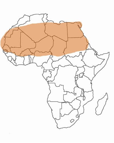
What region is this?
What country is this?

What region is this?
What physical feature is this?