Loading...
Modeling - RE/LM Week 3
Quiz by Arvin Adan
Customize this quiz to suit your class
Instantly translate to 100+ languages
Tag the questions with any skills you have. Your dashboard will track each student's mastery of each skill.
Give this quiz to my class
What is missing in this scenario?
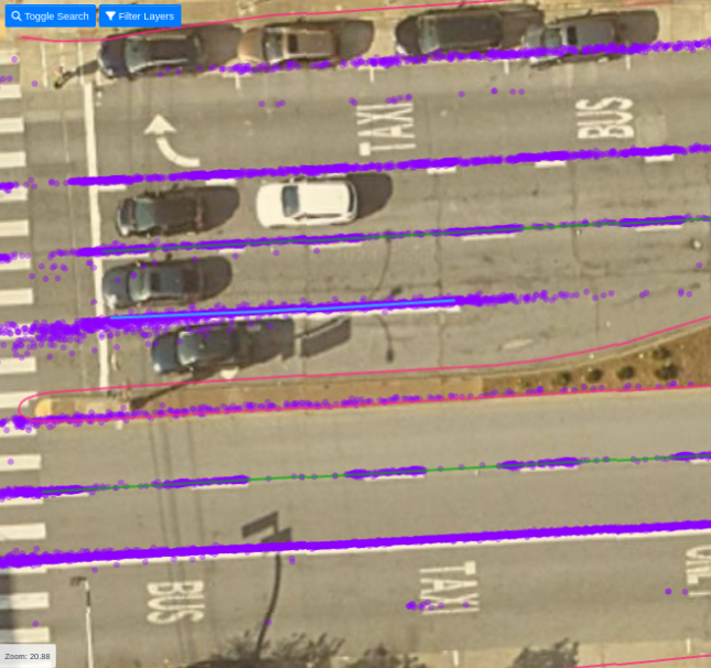
Missing RE
Missing QC
Missing LM
Route Polygon
What's wrong in this scenario?
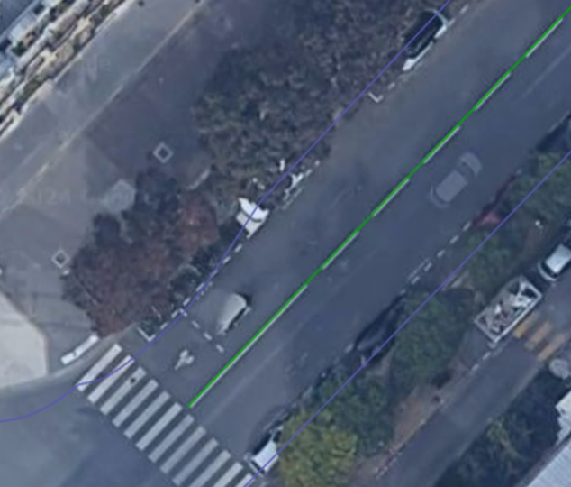
Missing RE
Accuracy Issue on RE
There is nothing wrong with this scenario
Wrong LM subtype
What is missing in this scenario?

What's wrong in this scenario?

What's wrong in this scenario?

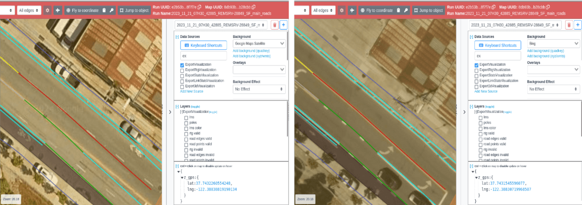
Is the marking correct?

In Modeling RE/LM Map projects, do we need to create polygons?
Which Marking is incorrect?

Whats wrong in this scenario?

In this tile; What background is accurate?
In FPA, Is this marking correct?

In FPA, what's wrong in this scenario?

Is this marking incorrect?

Is this marking correct?

Whick Marking Is correct?
Which scenario is correct?
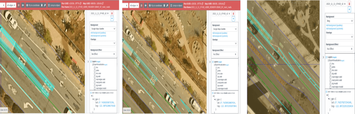
In FPA map projects, do we need to create polygons?