Tag the questions with any skills you have. Your dashboard will track each student's mastery of each skill.
Give this quiz to my class
Q 1/29
Score 0
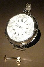
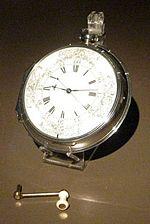
Who invented a timepiece that could keep accurate time at sea?
30
John Harrison
Rupert Gould
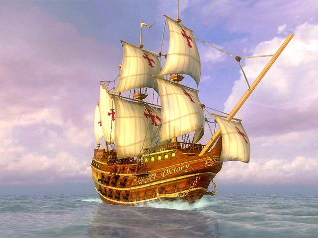
Ferdinand Magellan
Christopher Columbus
Q 2/29
Score 0
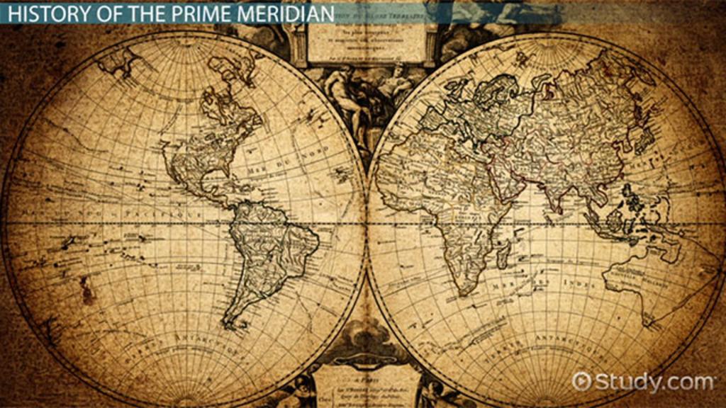
The Prime Meridian is located at
30
0˚ longitude
180˚ longitude
0˚ latitude
90˚ longitude
29 questions
Q.
Who invented a timepiece that could keep accurate time at sea?
1
30 sec
Q.
The Prime Meridian is located at
2
30 sec
Q.
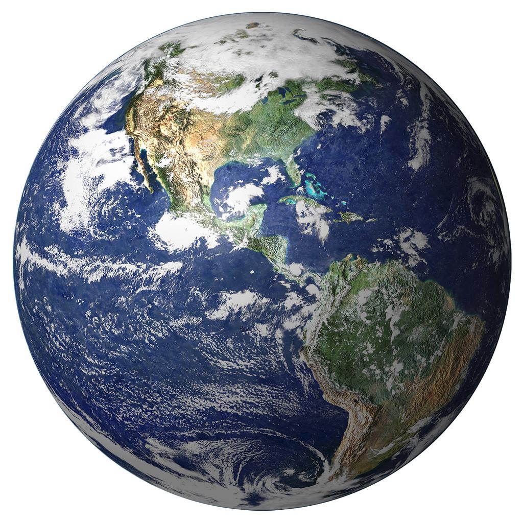
The most accurate portrayal of the earth is a
3
30 sec
Q.
An economic map is a map of
4
30 sec
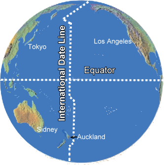
Q.
The International Dateline is located at
5
30 sec
Q.
The first layer of a GIS is called a
6
30 sec
Q.
How many time zones are there?
7
30 sec
Q.
Map projections were developed to address what issue
8
30 sec
Q.
Who was credited with circumnavigating the globe?
9
30 sec
Q.
Mrs. Basilio was walking around the 45˚ W longitude. If she did not walk far enough to make the 46W˚ longitude how could she state her distance?
10
30 sec
Q.
If you cross over the International Dateline
11
30 sec
Q.
On a globe, lines drawn east to west measure
12
30 sec
Q.
The concept of timezones in the United States was adopted after .....
13
30 sec
Q.
In a GIS, these layers provide the most details
14
30 sec
Q.
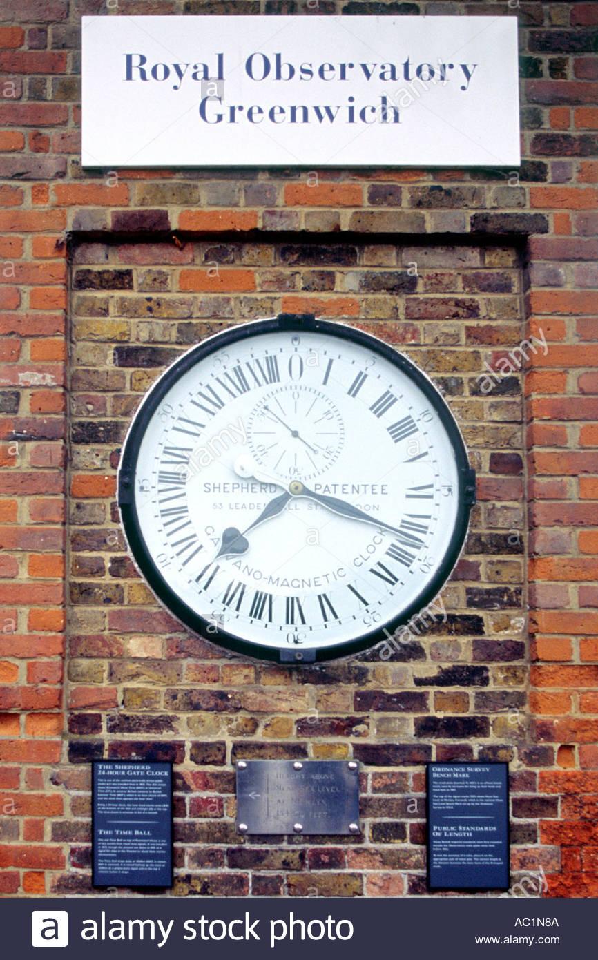
The line that runs through Greenwich England is the
15
30 sec
Q.
Mr. Little and Mrs. Freehart decided to build an amusement park; which map would be the most useful?
16
30 sec
Q.
Another name for lines of longitude
17
30 sec
Q.
The Dark Ages impacted European explorers because
18
30 sec
Q.
Who calculated the size and shape of the earth?
19
30 sec
Q.
The grid system on the globe was created by
20
30 sec
Q.
World Time Zones are followed by all countries
21
30 sec
Q.
On the mainland of the United States, there are how many timezones?
22
30 sec
Q.
What country follows only one time zone?
23
30 sec
Q.
Mr. Little and Mr. Eshleman challenged each other to a race. Mr. Little ran on the 40˚ line of latitude and Mr. Eshleman ran on the equator, If they ran at the same speed, who wins?
24
30 sec
Q.
In Google Earth, roads, photos and weather are examples of
25
30 sec
Q.
Grid lines that are drawn north to south on a globe are called
26
30 sec
Q.
The United States is found in which hemipshere?
27
30 sec
Q.
Who is the most longitudinally challenged geography teacher?
28
30 sec
Q.
If it is 1 pm in Hong Kong, what time is it in Sydney?