Loading...
Road Sub Type Quiz
Quiz by Mark Lester Diacos
Tag the questions with any skills you have. Your dashboard will track each student's mastery of each skill.
What are the fundamental sub types that we are currently using?
If there's no sign detected in MM but it is visible in GT and GT is updated with MM, should we still follow the sign?
What are the fundamental sub types that we are currently using?

What are the 3 Data sources that is relevant for road sub type task?
What are the shortcut keys to use when getting the v_value of the spline?
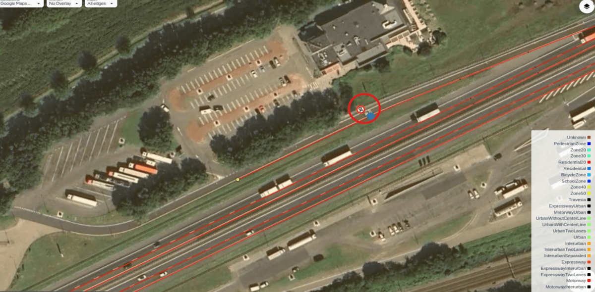
We are using this tool to confirm that the signs are real, so we can use them as validation before changing the road subtype.
This filter is very important, as it ensures we are working on a specific task and helps us avoid editing different task types.
Which background should we use for the Road Subtype task?
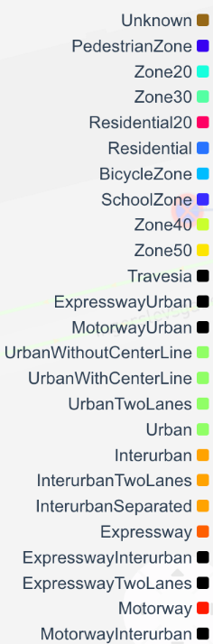
This filter helps us quickly identify road subtypes based on their color.
This filter is important to this task making the task easier to identify where the Road sub type will change.
What are the Layers relevant for Road Sub Type task?
In this scenario, do we need to use the explicit '30' sign detected in the MM as a basis to indicate that it is entering an urban area?
In a scenario where the Map Marker detects a city entrance sign but Google Maps does not, what should be the correct approach?

Which sign should we follow in this scenario? As you can see in the picture, there are both a City Entrance (CE) sign and a Zone 30 sign.

In this scenario, there are entry and exit points for a Zone 30 sign. However, some portions of the area have no detection in MM or GT. Should we still consider it a Zone 30 and end it where we can reasonably identify its conclusion, even if there is no actual detection to support changing the road subtype?

In scenarios where two different traffic signs appear in sequence, which sign should be used to determine the correct road subtype?
