Loading...
Time Zones 3 Unit 7 Vocabulary
Quiz by Lourdes Valezi
Customize this quiz to suit your class
Instantly translate to 100+ languages
Tag the questions with any skills you have. Your dashboard will track each student's mastery of each skill.
Steve Jobs

Apple
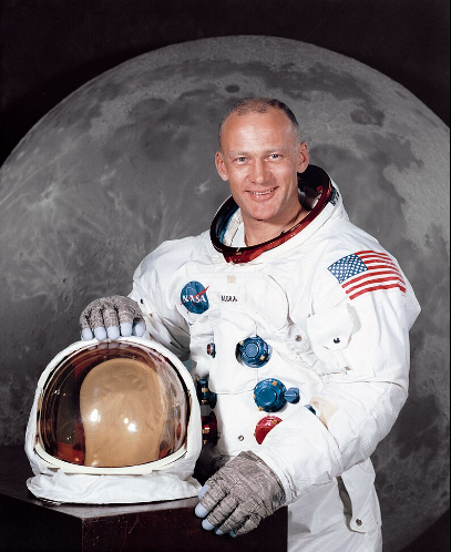
Buzz Aldrin
Moon
Steve Jobs

Buzz Aldrin

J. K. Rowling

Robert Ballard

Taylor Swift

Give this quiz to my class