Module 2 Geographic Tools
Quiz by Meg Basilio
Feel free to use or edit a copy
includes Teacher and Student dashboards
Measure skillsfrom any curriculum
Measure skills
from any curriculum
Tag the questions with any skills you have. Your dashboard will track each student's mastery of each skill.
With a free account, teachers can
- edit the questions
- save a copy for later
- start a class game
- automatically assign follow-up activities based on students’ scores
- assign as homework
- share a link with colleagues
- print as a bubble sheet
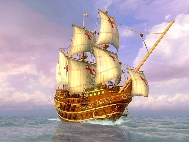
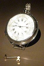
- Q 1/29Score 0Who invented a timepiece that could keep accurate time at sea?29John HarrisonRupert GouldFerdinand MagellanChristopher Columbus


29 questions
Show answers
- Q1Who invented a timepiece that could keep accurate time at sea?John HarrisonRupert GouldFerdinand MagellanChristopher Columbus30s
- Q2The Prime Meridian is located at0˚ longitude180˚ longitude0˚ latitude90˚ longitude30s
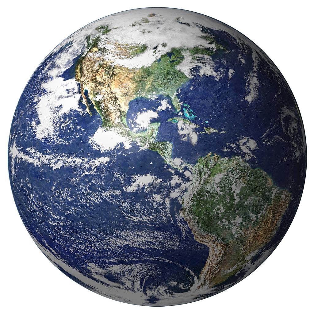
- Q3The most accurate portrayal of the earth is aMap projectionMercator mapglobeatlas30s
- Q4An economic map is a map ofa map of the wealth in a countrya map of banks across the globea map of the various jobsnatural resources30s
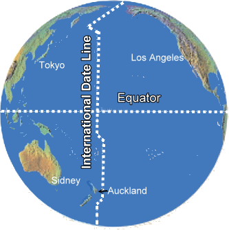
- Q5The International Dateline is located atTropic of Capricorn90˚ latitudePrime Meridian180˚ longitude30s
- Q6The first layer of a GIS is called alandsat layervector layerraster layerremote layer30s
- Q7How many time zones are there?twelveeighteentwenty fourthirty-six30s
- Q8Map projections were developed to address what issuelack of cartographersdistortion of the earth as a flat mapdesign of various map themesoutdated maps30s
- Q9Who was credited with circumnavigating the globe?Lief EriksonFerdinand MagellanChristopher ColumbusJohn Harrison30s
- Q10Mrs. Basilio was walking around the 45˚ W longitude. If she did not walk far enough to make the 46W˚ longitude how could she state her distance?centimeters and metersfeet and inchesdegree, minutes and secondhours, minutes and seconds30s
- Q11If you cross over the International Datelinego ahead or back 12 hoursyou go ahead or back a daygo ahead or back 10 hoursgo ahead or back 18 hours30s
- Q12On a globe, lines drawn east to west measureposition north and southposition wast and westmeasures the eastern hemispheremeasures the northern hemisphere30s
- Q13The concept of timezones in the United States was adopted after .....Widespread use of electricityIndustrial RevolutionRail travel expanded in the USCivil War30s
- Q14In a GIS, these layers provide the most detailsvectorlandsatrasterstreetview30s
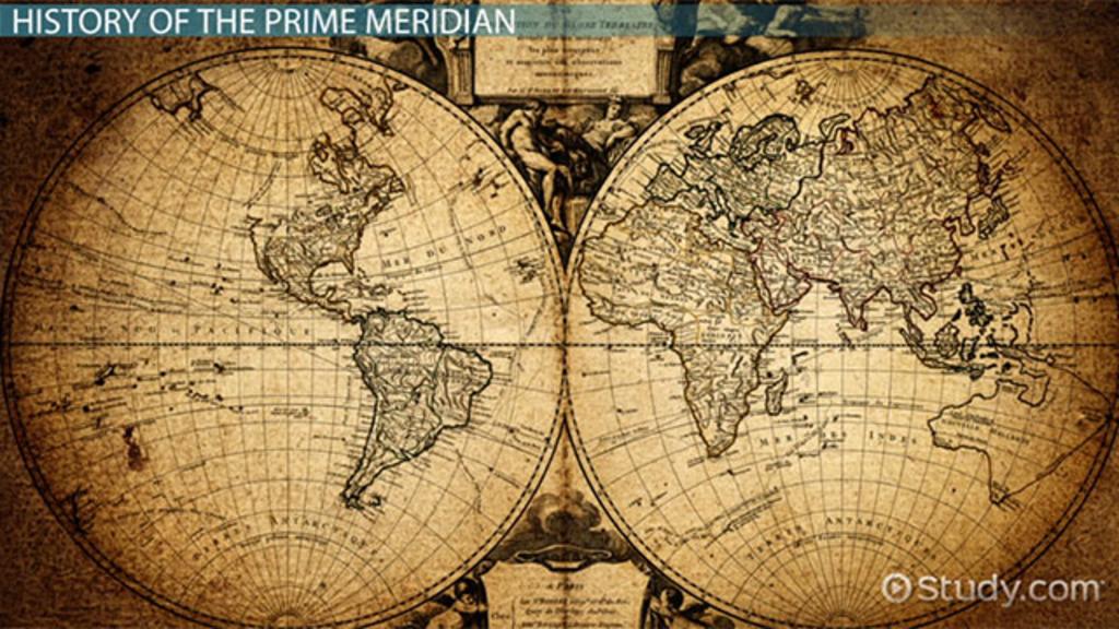
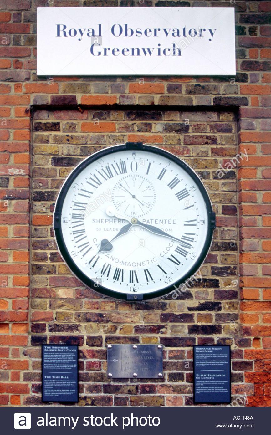
- Q15The line that runs through Greenwich England is the90˚ line of latitudeEquatorInternational DatelinePrime Meridian30s