Loading...
Lane Type School Zone
Quiz by Mark Lester Diacos
Tag the questions with any skills you have. Your dashboard will track each student's mastery of each skill.
When marking a polygon for a School Zone task, should the polygon extend up to the crosswalk?
What are the complete and necessary layers or objects that need to be included when working on a School Zone task?
When marking a polygon for a School Zone task, should the polygon extend up to the crosswalk?

Using _________ to find school zones is considered one of the best starting points—not because it shows school zones directly, but because it provides a centralized, interactive platform that connects key pieces of information. It allows the use of different MM backgrounds such as Google Map Satellite or Satellite Streets to identify relevant indicators.
Do we need to consider tagging this kind of case?

Some scenarios indicate a School Speed Limit. To view these on the Map Marker, where should you filter to see areas with School Speed Limit?
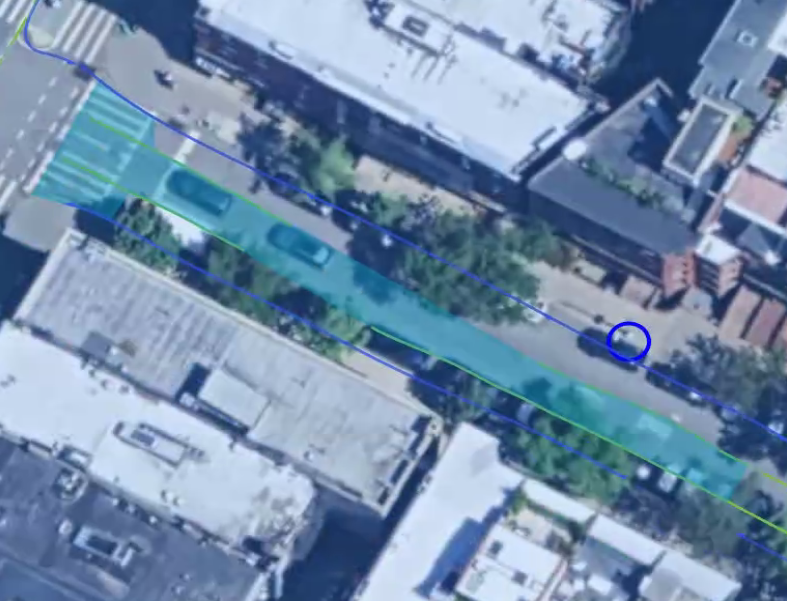
For this case, we marked the school zone on the driving path of the car and did not include the parking area on the side of the road. Is this tag correct?

Should we include the bike trail when marking the school zone polygon, considering it is also part of the road?

For this case, should we only mark the crosswalk or continue the polygon up until the junction?

What value should be entered for 'School Zone' and 'End of School Zone'?

If there is no Clustering3D available on the map, which layer should be enabled to display the School Zone sign icon?
